Walking & things to do
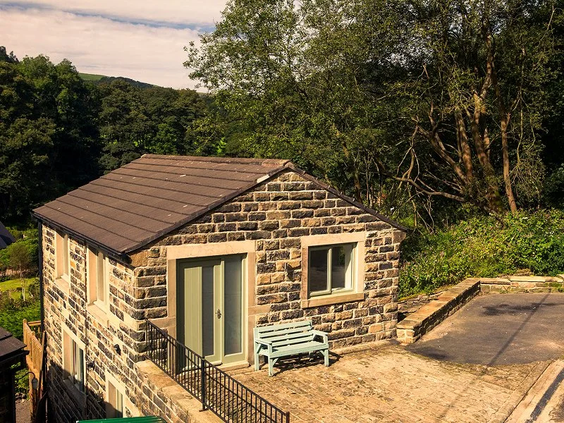
Spring Wood Studios sits at the edge of the National Trust Hardcastle Crags estate, with walking routes leaving directly from the door. You can reach Gibson Mill's 19th-century café in 20 minutes, walk into Hebden Bridge in 15, or head up to moorland views above the valley.
This page covers the main walks and cycling routes from the studios, plus practical tips for exploring the area on foot or by bike.
Walking to Hardcastle Crags & Gibson Mill
The main path into Hardcastle Crags National Trust estate is a 10-minute walk from the studios. This ancient wooded valley follows Hebden Water upstream through oak, birch and sycamore, with stone bridges and riverside paths that have been walked for centuries.
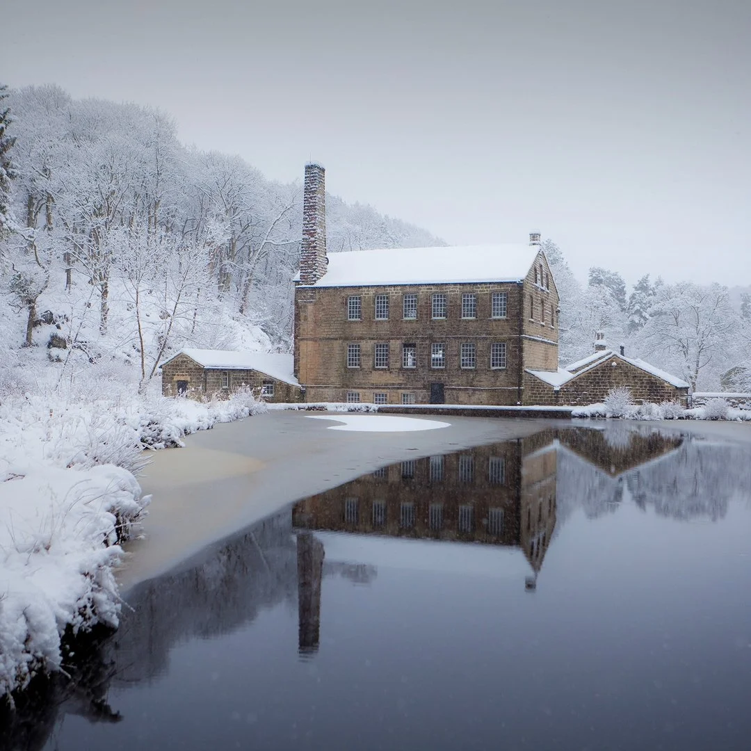
The walk follows the valley floor to Gibson Mill—a 19th-century cotton mill that now runs off-grid with hydroelectric power. The National Trust café here serves tea, cake and light lunches. Beyond Gibson Mill, the path continues upstream through denser woodland where bluebells carpet the valley floor in May. Cross the river at the stepping stones and loop back on the opposite bank, passing through ancient oak woodland with views down to the water.
You can cut the walk short at Gibson Mill (2 miles return) or extend it by climbing to the higher paths that edge the moorland above the valley.
At a Glance
Distance: 3.5-4 miles (circular route)
Time: 1.5-2 hours
Terrain: Mostly firm estate paths
Walking into Hebden Bridge
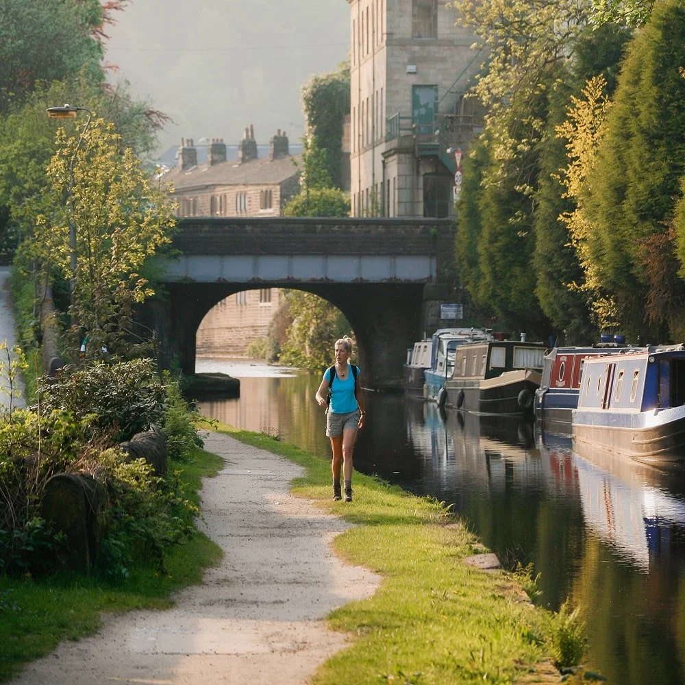
The riverside path into town runs parallel to Midgehole Road, following Hebden Water through woodland before emerging at the canal basin in the center of Hebden Bridge.
This is the easy route for morning coffee runs, evening pub visits, or browsing the independent shops and galleries in town. The path stays flat the whole way, making it walkable in any weather. You'll pass through mixed woodland before the path opens out near the railway bridge, where the canal meets the river and the town's stone terraces rise up the hillside.
No steep climbs, no navigation required—just a straightforward walk between peaceful woodland and the lively creative hub of Hebden Bridge.
At a Glance
Distance: ~1 mile
Time: 15-20 minutes
Terrain: Flat, mostly paved; accessible year-round
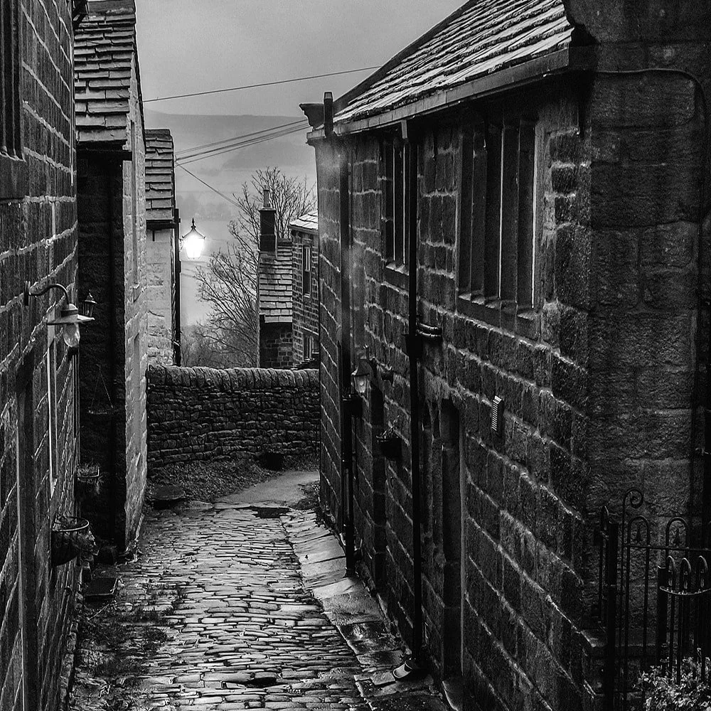
The Heptonstall Village Walk
This is the steep one. Heptonstall sits on the hilltop above Hebden Bridge, reached via ancient cobbled packhorse routes or woodland paths that climb sharply out of the valley. The reward is a medieval hilltop village with stone cottages, two churches (one ruined), an octagonal Wesleyan chapel, and sweeping views over Calderdale. Sylvia Plath is buried in the churchyard. The village has a pub and small café, making it a good destination for a morning climb and leisurely lunch before the easier walk back down.
At a Glance
Distance: ~2 miles from Hebden Bridge to Heptonstall
Time: 45-60 minutes up; 30 minutes down
Terrain: Steep cobbled sections and woodland paths.
Longer Walking Routes
The Pennine Way—Britain's first long-distance national trail—passes through Hebden Bridge on its 268-mile route from Derbyshire to Scotland. You can pick up sections for day walks, heading north toward Stoodley Pike monument or south toward moorland ridges.
The Calderdale Way is a 50-mile circular route around the valley, following ancient packhorse trails, canal towpaths and moorland edges. Local sections make good half-day or full-day walks from the studios.
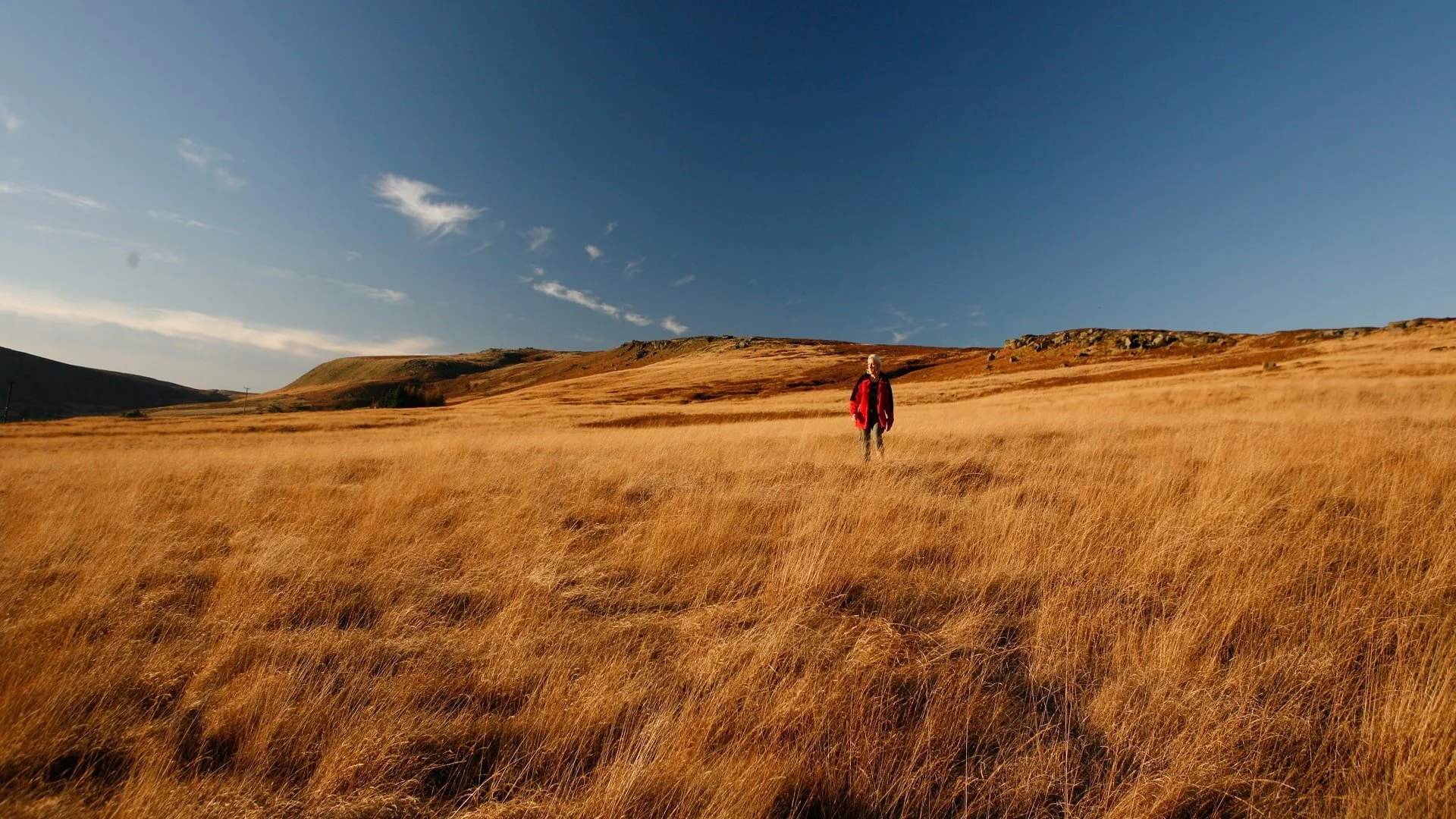
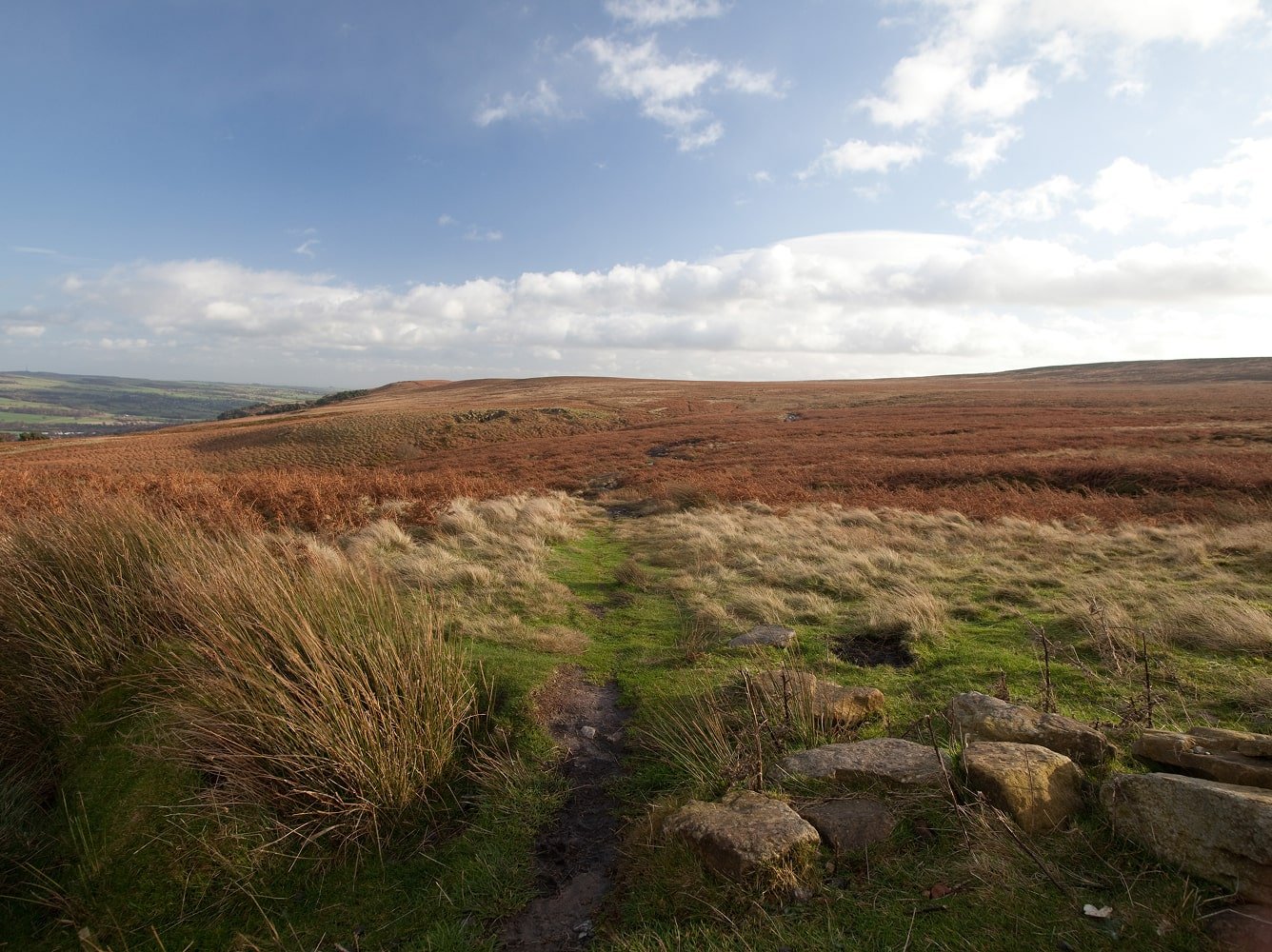
For open moorland, paths lead up from Hardcastle Crags and Heptonstall toward the high Pennine plateau—exposed, dramatic walking with big skies and long views across West Yorkshire.
At a Glance
Pennine Way sections: 5-12 miles depending on route
Calderdale Way sections: 6-10 miles typical
Moorland walks: Variable; OS map recommended
Terrain: Exposed moorland, steep climbs, can be boggy
Year-Round Walking Near Hebden Bridge
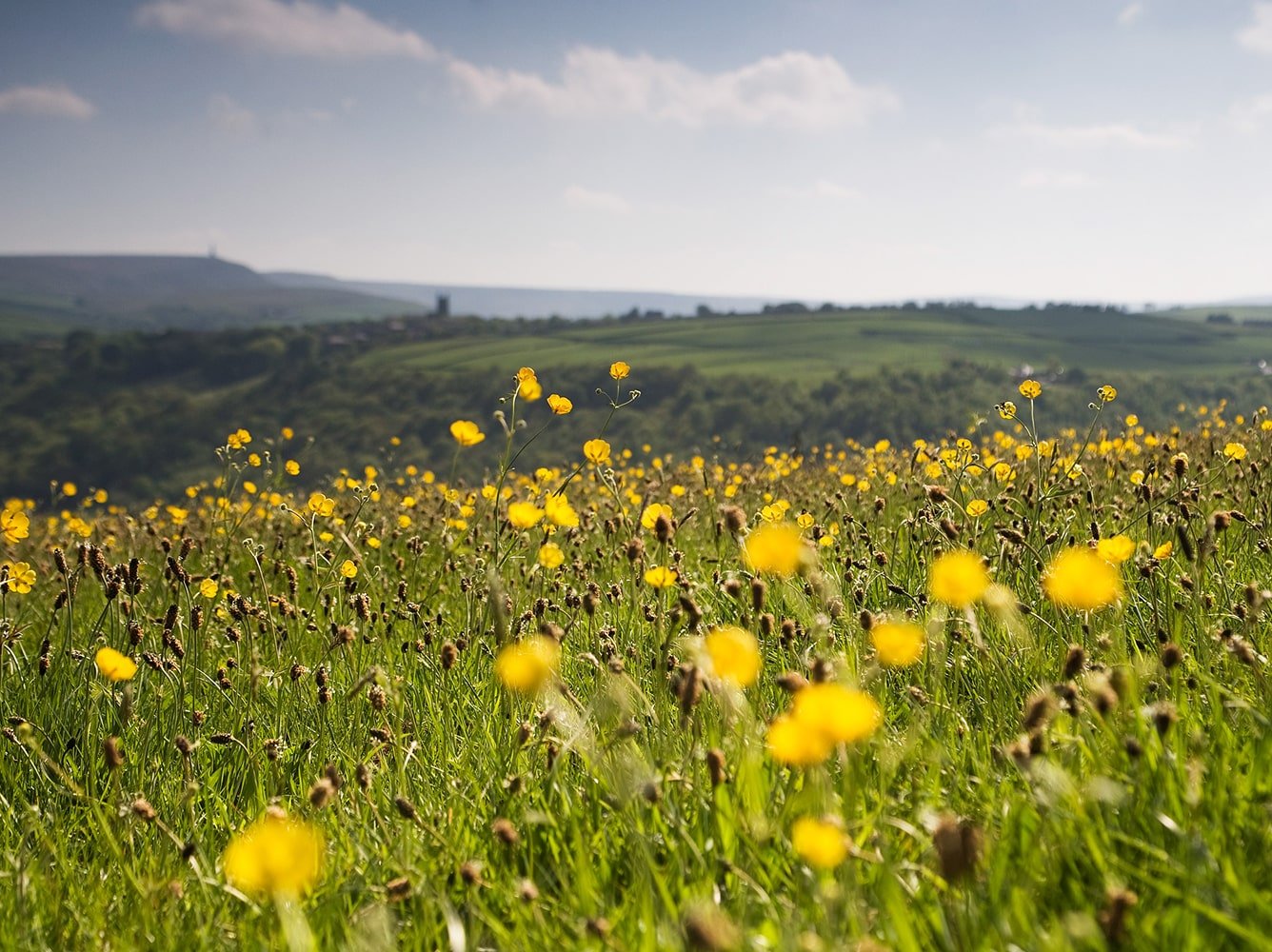
Spring brings bluebells to Hardcastle Crags—the valley floor carpets in blue during May, drawing walkers from across Yorkshire. This is the busiest season for the estate, particularly on sunny weekends.
Summer offers the longest daylight for moorland walks, though the valley paths stay shaded and cool even on hot days. Autumn brings color to the oak and birch woodland, with quieter trails after the school holidays end.
Winter can close the high moorland routes when snow settles on the Pennines, but the valley walks remain accessible year-round. The riverside path to Hebden Bridge and Gibson Mill loop are walkable in any weather
At a Glance
Bluebells: Late April to mid-May
Driest months: April, May, September
Quietest season: November to March (excluding Christmas week)
Day Trip to Haworth & Brontë Country
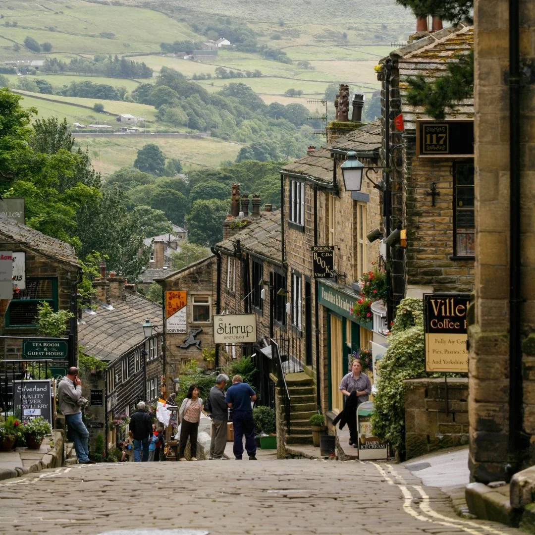
Haworth is a steep cobbled village on the edge of the moors, famous as the home of the Brontë sisters. The Parsonage Museum preserves the house where Charlotte, Emily and Anne wrote Jane Eyre, Wuthering Heights and The Tenant of Wildfell Hall. Beyond the village, moorland paths lead out across the landscape that inspired their novels.
The Keighley & Worth Valley Railway runs heritage steam trains through the valley, and the village itself has independent bookshops, cafés and traditional pubs along the steep Main Street.
The B3 Brontë Bus offers a direct connection from the top of Midgehole Road—no need to drive or change buses.
At a Glance
Bus: B3 Brontë Bus from top of Midgehole Road
Journey time: ~25 minutes
Highlights: Brontë Parsonage Museum, steam railway, moorland walks
Ready to Book Your Walking Base?
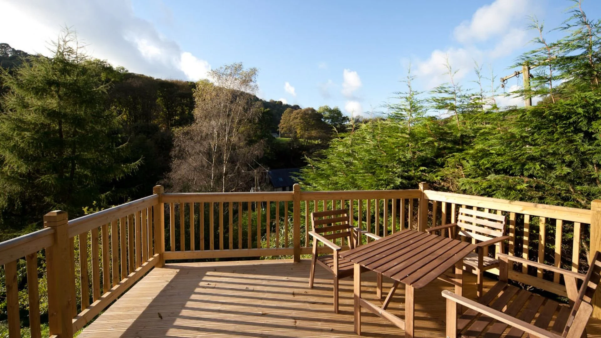
Spring Wood Studios offers two self-contained woodland apartments, each with everything you need for a comfortable stay between walks.
Studio one